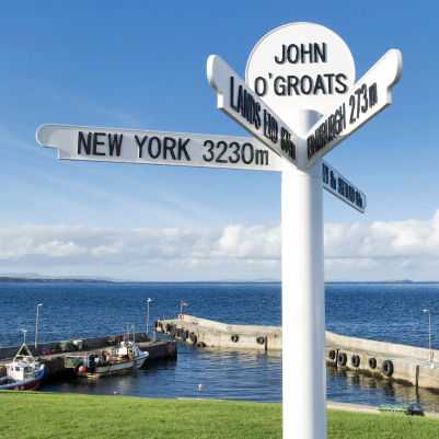
Land’s End to John o’ Groats is the traversal of the whole length of the island of Great Britain between two extremities, in the southwest and northeast. Signposts indicate the traditional distance at each end. The straight-line distance from Land’s End to John o’ Groats is 603 miles (970 km) as determined from O.S. Grid References, but such a route …
Wick River
Starting at Wick town centre, this 6 km walk takes you along a constructed path by the river and is a treat for bird-watchers.
Yarrows Archaeology Trail
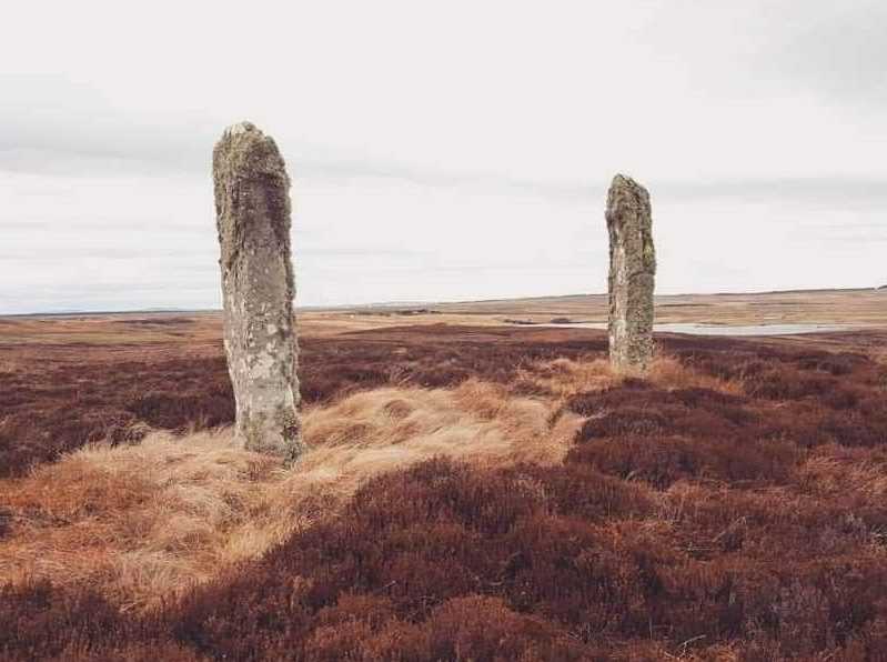
If you have an interest in archaeology this walk is for you. Starting at South Yarrows farm, this 3.5km trail is rich in archaeological remains such as bronze-age chambered cairns and an iron-age broch. Be careful, however, as it is usually very wet underfoot.
Thurso to Scrabster
This walk from the town of Thurso to the port and ferry terminal Scrabster takes around an hour and covers 3.5 km. It can be done on its own or completed as part of a longer walk around Holburn Head.
The John O’ Groats Trail
The John O’Groats trail is for hardened walkers only. It is a long-distance walking route from Inveness to John O’Groats which is rough and challenging. It covers 235km and should be tackled in 14 stages. For more information, please visit https://www.walkhighlands.co.uk/sutherland/caithness.shtml
Badbea
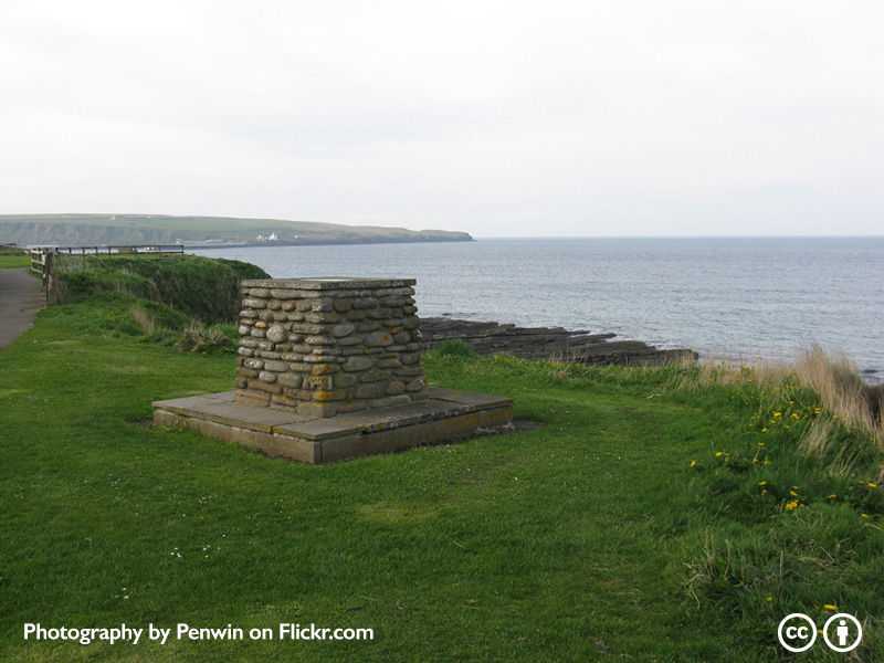
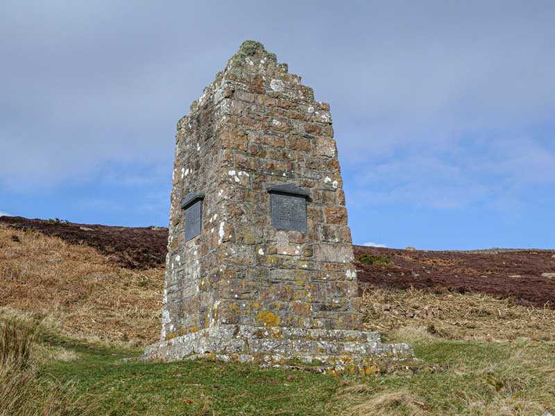
The walk from Badbea to Clearance Village covers 2 km. The starting point of Badbea lies halfway between Berridale and the Ord, it can be accessed by a footpath from a lay-by on the A9 near Ousdale. You will find a monument in memory of the people of Badbea, who were evicted from their homes in Langwell, Ousdale and Berridale …
Whaligoe
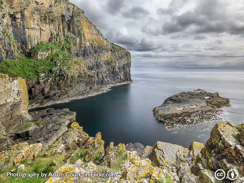
365 stone steps lead down a 250ft cliff to Haven, where in the 19th century fishing boats used as a landing. Beside the Haven the Bink was created for landing and curing the catch. Women had to gut the fish and then carry them up the 365 steps in barrels. The Whaligoe steps are not signposted but can be found …
Dunnet Forest
Dunnet Forest is situated just past the village of Dunnet on the A836. You should start your walk at Dunnet Forest car park.The forest covers 104 hectares and has various marked and signposted trails.
Dunnet Beach
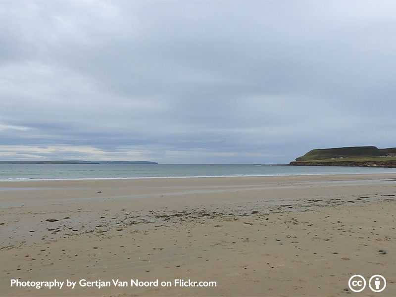
A lovely sandy beach stretching for around three miles, it takes around two hours to walk. It is a great spot for sea fishing and sea bass can often be caught. The beach can be accessed through the car park of the Seadrift Centre just west of Dunnet village. Situated at the North side of the Dunnet Beach, this is …
Dunnet Head
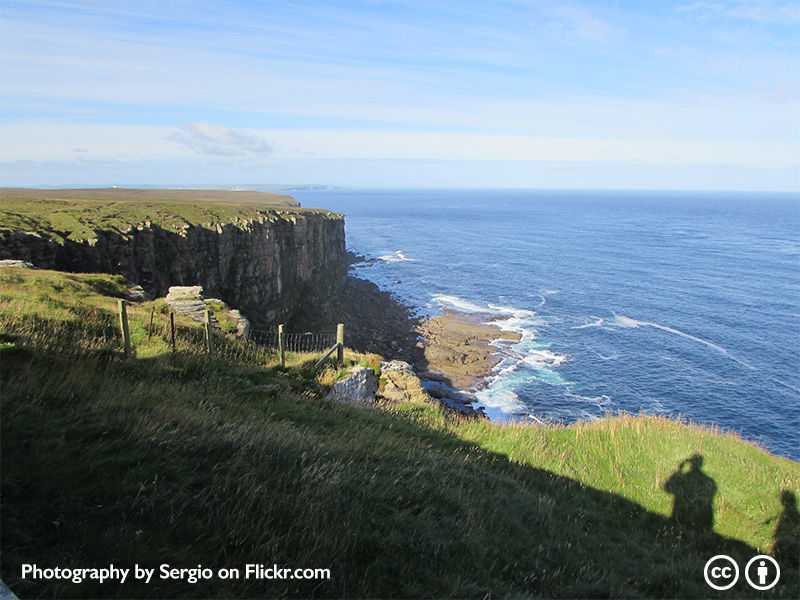
Dunnet Head is the most northerly point of the British mainland. You should start your walk at Dwarwick Pier. At Dunnet Head you will find Dunnet Head lighthouse which was built in 1831 and can enjoy lovely views of the Island of Hoy
- Page 1 of 2
- 1
- 2
